Act
Gerichte onkruidbestrijding
Cameras find weeds plant by plant. The prescription switches the boom on over 4.34 hectares instead of all 24.6.
In ontwikkeling: deze mogelijkheden beschrijven beoogde werkwijzen. De software bevat registraties en modelsimulaties; veldklare resultaten blijven onderdeel van de ontwikkelplanning. Implementatiestatus en ontwikkelplanning
Drones scannen het gewas, de modellen markeren wat er werkelijk mis is, en de machine behandelt alleen de grond die het nodig heeft.
17.6%
van het perceel aangemerkt voor behandeling. De overige 82.4% bleef onaangeroerd.
98
onkruiden tot op de vierkante meter gelokaliseerd, elk met soort en zekerheidsscore.
31 min
om 24.6 hectare te vliegen op 1 cm per pixel.
62
behandelzones, geëxporteerd in het formaat dat uw terminal toch al leest.
Elke toepassing hier is een variant van dezelfde cyclus. Wat verandert is de sensor aan de drone en waar het model naar zoekt.
Scannen
Dezelfde route, dezelfde hoogte, elke vlucht. Zo zijn de beelden van vandaag vergelijkbaar met die van de vorige keer in plaats van een losse momentopname.
Markeren
Onkruid per soort, ziekte aan de hand van afwijking van de eigen perceelhistorie, droogte via de gewastemperatuur. Elke vondst krijgt een coördinaat en een betrouwbaarheidsscore.
Behandelen
Vondsten worden zones en zones worden een taakkaart die uw spuit, strooier of schoffel direct inleest. Buiten een zone wordt niets aangeraakt.
Cameras find weeds plant by plant. The prescription switches the boom on over 4.34 hectares instead of all 24.6.
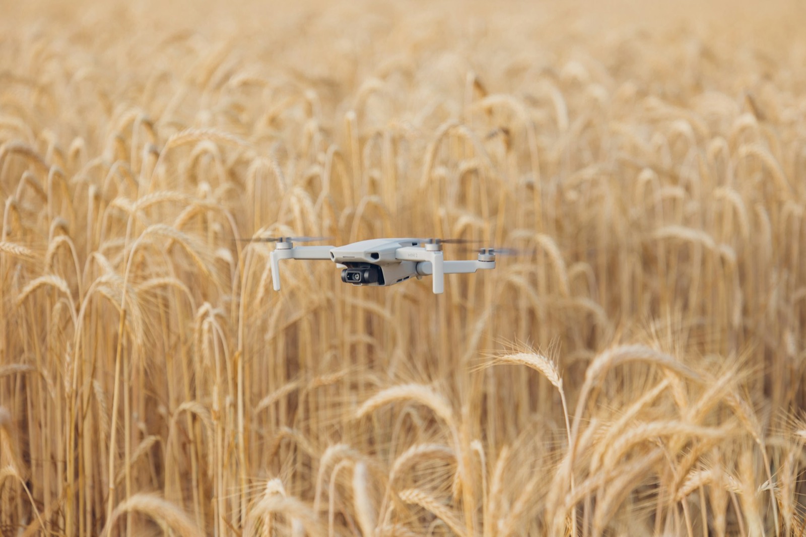
Multispectral imaging reads chlorophyll loss days before a symptom is visible from the cab.
Bekijk het vluchtritmeA thermal search at dawn finds fawns pressed flat in the sward, and marks them live on the phone of whoever is walking the field.
Lees de zoekprocedureDetecteren
Meetvluchten die het probleem vinden zolang het nog klein is.
Behandelen
Behandeling volgens de kaart, zodat alleen de aangetaste grond wordt geraakt.
Uitvoeren
De dienst, de vloot en de rapportage die het draaiend houden.
Het lange seizoen, in etappes gevlogen
Gaten in de opkomst, ongelijke onkruiddruk, septoria-risico en een stikstofplan dat het perceel moet volgen in plaats van een vlakke gift.
Percelen van 10 tot 120 hectare, in één route gevlogen.
Steile grond, nauwe rijen, hoge waarde
Groeikracht per rij, bewaking van valse en echte meeldauw, vorstkommen en het terrein waar drone-toepassing werkelijk is toegestaan.
Percelen van 0,5 tot 20 hectare, inclusief hellingen waar machines niet kunnen werken.
Zoeken voordat de maaier rijdt
Thermisch zoeken naar reekalveren voor de eerste snede, kartering van zodekwaliteit en doorzaai waar de zode is teruggelopen.
Percelen van 2 tot 40 hectare, bij het ochtendgloren gevlogen.
Binnen, waar het weer nooit meehelpt
Bestuivingshulp tijdens de bloei, gewasgezondheid per rij en beregeningsgelijkmatigheid in een kas waar geen regen iets maskeert.
Kassen van 0,2 tot 10 hectare onder glas of folie.
Een dienst die u per hectare doorberekent
Voeg verkenning, wildzoektochten en taakkaarten toe aan het werk dat u al doet, zonder een vloot te kopen.
Portefeuilles van 500 tot 5.000 hectare over veel bedrijven.
De eerste weken beslissen, vogels maken het af
Plantentellingen, vroege onkruidconcurrentie, druk van de maisboorder en vogels die bij het rijpen aan de kolven werken.
Percelen van 5 tot 80 hectare, met verjaagstations op de percelen onder druk.
Tel de vruchten, bescherm de bloei
Vruchttelling voor de boeking bij de pakstation, bloesemvorstbescherming, boom voor boom gezondheid en vogels bij het rijpen.
Percelen van 1 tot 40 hectare.
Het verre perceel, elke ochtend gecontroleerd
Dagelijkse tellingen, controle van de afrastering en gemelde dieren, zonder de rit naar elk afgelegen perceel.
Weideplatforms van 20 tot 300 hectare, docks geplaatst op accubereik.
Eén beeld over alle aangesloten percelen
Vlootdekking over verspreide percelen, vergelijkbare cijfers tussen bedrijven en rapportage die netjes optelt.
2.000 tot 40.000 hectare over verspreide ledenpercelen.
Ongelijk vanaf de dag van zaaien
Ongelijke opkomst, schade door aardvlooien en een gewas dat gemeten moet worden voordat het stikstofbesluit iets waard is.
Percelen van 10 tot 100 hectare.
Hoge waarde per vierkante meter, korte vensters
Plukprognoses voor de arbeidsplanning, beregeningsgelijkmatigheid onder tunnels, vogeldruk en vorst bij vroege rassen.
Blokken van 0,5 tot 15 hectare, vollegrond en tunnels.
Beplant de helling waar niemand kan lopen
Terreinkartering, zaadbollen op grond die machines niet bereiken, en opkomsttellingen die aantonen dat het werkte.
Locaties van 1 tot 500 hectare, ook terrein zonder voertuigtoegang.
Waar plaatsspecifiek spuiten het eerst loont
Brede rijen en trage begingroei maken biet het gewas waar onkruidkartering en pleksgewijze behandeling het meest besparen.
Percelen van 10 tot 80 hectare.
Een muur van gewas waar niemand in kijkt
Bewaking van valse meeldauw en spint van bovenaf, plus groeikartering over een gestel dat op de grond alles verbergt.
Velden van 2 tot 50 hectare.
Phytophthora, beregening, een gewas dat je niet ziet
Phytophthorabewaking in een strak ritme, beregeningsgelijkmatigheid uit thermische beelden en een opbrengstraming voor het rooien.
Percelen van 5 tot 60 hectare, meestal beregend.
Mechanisch wieden heeft de kaart het hardst nodig
Zonder herbiciden bepaalt de plek van het onkruid waar de schoffel heen gaat, wanneer, en hoeveel bewerkingen het perceel echt nodig heeft.
Percelen van 5 tot 100 hectare.
Drones do not spray your arable fields. Aerial application of plant protection products is prohibited by default under German and EU law, with narrow exemptions, most of them for steep vineyard terrain. Our maps are built for the sprayer, spreader and hoe you already own and are already permitted to use.
We do not publish a savings percentage. What a targeted programme saves depends on your weed pressure, your programme and your machine, and any number printed here would be someone else's field. What we do publish is the measurement: treated area against total area, every pass, on your fields.
A model that is unsure does not become a recommendation. Detections below the confidence threshold go to a human reviewer before they reach you, and every finding carries the score it was given, so you can see which calls were close.
The figures on this site come from a modelled demonstration field, not a customer's. It is labelled wherever it appears, and you can read the whole flight record, detection by detection, on the field report page.
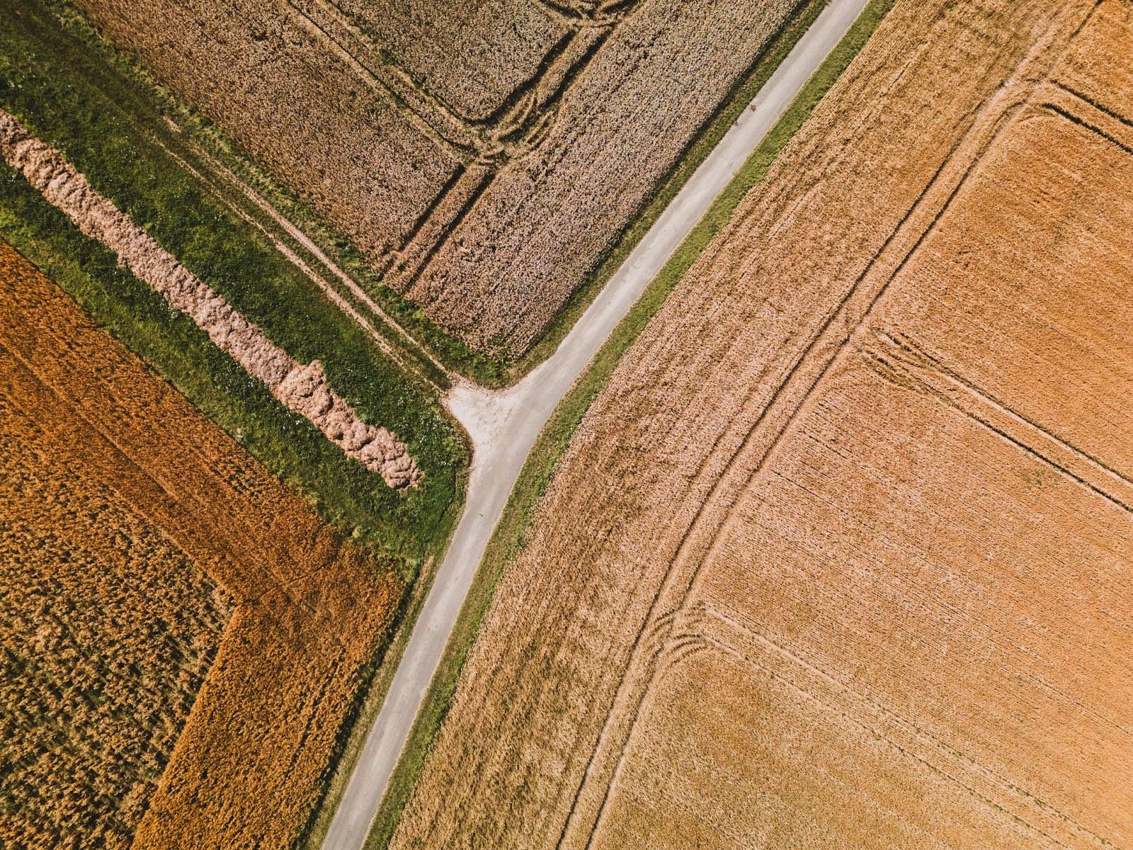
Noem het gewas en de hectares. Wij lopen het perceel met u door, spreken een vluchtkalender af rond uw seizoen, en u krijgt het eerste rapport voordat u zich ergens aan vastlegt.
Veldbezoek boeken